Source: Eurostat – more here
The COVID-19 crisis has propelled data and statistics into the spotlight. The importance of accurate, reliable and timely data in understanding and managing the crisis has become more apparent by the day, as decision-makers across the world have had to make quick and unprecedented decisions affecting millions of lives. In parallel, the international community of those working to produce and disseminate these data has had to react at lightning speed to meet the urgent demands for new types of data to support potentially life-or-death decisions.
UNECE and the Global Forum for Geography and Statistics (GFGS) this week brought together over 120 experts from 40 countries across the globe to share ideas and experiences in a webinar on geo-statistical responses to the COVID-19 crisis. Presentations and discussions about national and international initiatives highlighted the incredible amount of innovation in the data world that has been sparked by this crisis.
A key conclusion of the webinar was the importance of quickly being able to gather and integrate data from multiple sources. Countries including Ireland and Mexico demonstrated how they have re-purposed tools, data flows, partnerships and legal frameworks that were originally developed to provide statistics for the Sustainable Development Goals (SDGs). This highlights the importance of one of the key principles of UNECE’s work on the modernization of official statistics; that data tools, systems and processes should be designed for re-use, and not just for one specific purpose.
By integrating official statistics on populations, migration and economic activity with geospatial, administrative and other data sources, experts in many countries have been able to create new data products to support national responses to the crisis. Just as for the SDG indicators, single national total figures are seldom sufficient for informing real-life decisions of governments, businesses or households. Detailed breakdowns by location, age, sex and health status are needed to gain insights into rapidly evolving situations.
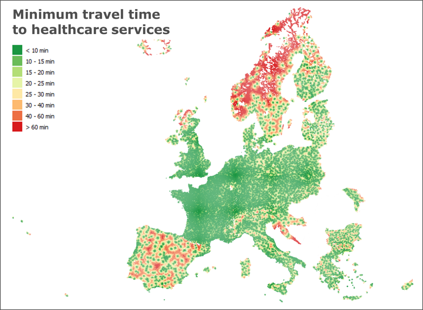
Integrating large data sets and producing detailed statistics is of limited use unless the results are visualized and communicated effectively. The webinar showcased examples of presentation techniques using maps and dashboards that enable complex data patterns to be understood quickly and easily.
The Webinar also found that data sharing and integration are facilitated by common standards, particularly in crisis situations. UNECE has been actively fostering partnerships between the statistical and geospatial communities to support this important work, including organizing a joint plenary session of the Conference of European Statisticians and the European group of the UN initiative on Global Geospatial Information Management, to be held in June.

Cumulative number of infected persons in Portugal as of 17 May
(Source: Statistics Portugal. Full presentation here)